|
eLivermore.com
- By Bill Nale |
|
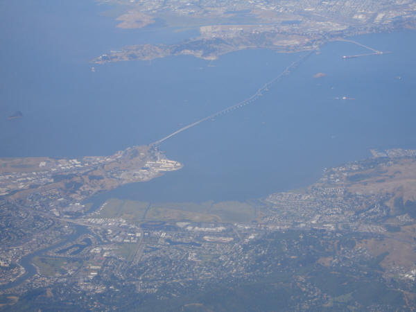
Richmond - San Rafael Bridge & San Quentin from
the air.
San Quentin is in San Rafael, just south of the
bridge.

San Rafael is on the left, Larkspur in the middle, Corte Madera
toward the right.
The Richmond - San Rafael Bridge heads across to Richmond
San Quentin is the white are sticking out into the bay just to the right of the
where the bridge exits San Rafael.
Taken June 10, 2005, 5:25PM 6-7:124

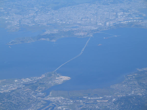
San Rafel Bridge, with San Quentin visible as the white area
sticking out into the bay just to the right where the bridge exits San Rafael
(near side).
Taken April 20, 4:27PM 6-4:97

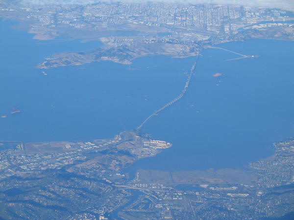
San Quentin and the bridge.
Taken March 31, 2005 5:36PM 6-3:64

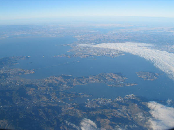
August 10, 2004 7:08PM 5-2:8

The fog is rolling in.
The Richmond - San Rafael Bridge is to the left of center. The peninsula
is Tiburon, with Angel Island to its left, just barely out of the fog.
Sausalito is across the water (below in the photo) from the Tiburon peninsula.
The Mt. Tamalpais area is to the far left at the bottom.
August 10, 2004 7:10PM 5-2:11

Taken July 21, 2004 5:30PM 4-13:12
Next
--->


