|
eLivermore.com
- By Bill Nale |
|
Oakland, Alameda, the former Alameda Naval Air
Station, and the Oakland Airport.
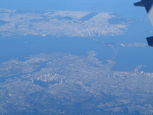
View of Oakland (bottom left), Berkeley (bottom right) the former
Alameda Naval Air Station (runways left of center), the bay bridge, Yerba Buena
Island (in the middle of the bridge), Treasure Island (to its right), and San
Francisco (top).
Taken March 31, 2005, 7:21AM 6-3: 41
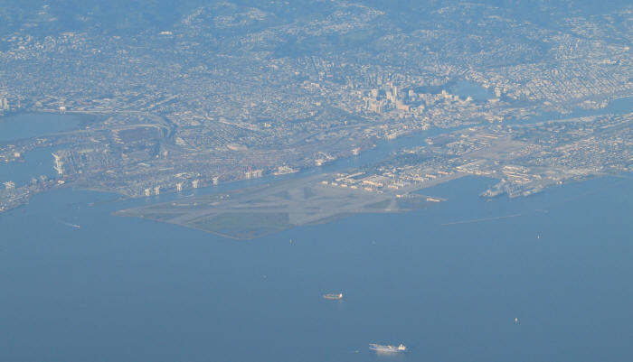
The runways of the former Alameda Naval Air Station.
Downtown Oakland is beyond Alameda, with Lake Merritt clearly visible.
The cranes of the port of Oakland can be seen in the Oakland Inner Harbor
Taken March 31, 2005 5:38PM 6-3:79
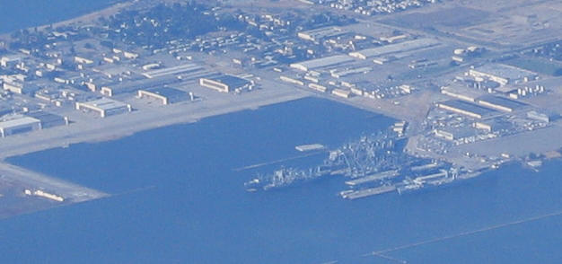
USS Hornet (just above dock at bottom right)
Taken 7/21/04 5:32PM 4-13:31
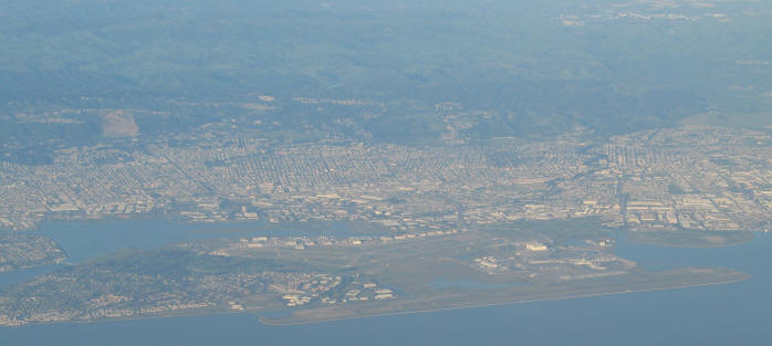
The Oakland Airport and Bay Farm Island.
Taken March 31, 2005, 5:39PM 6-3:85
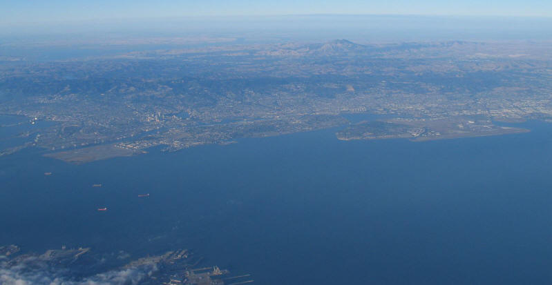
Wide view showing the former Alameda Naval Air Station, Alameda,
and Bay Farm Island / Oakland Airport.
Mt. Diablo is in the background.
Taken August 10, 2004. 7:11PM. 5-2:26
Next
--->