eLivermore.com - By Bill Nale


San Francisco
From the Air

Back to: Home Page  -  Photos Page - Bay/Cal/etc Menu


<--- Previous

Next --->

Golden Gate Bridge (1) Oakland & Alameda
Golden Gate Bridge (2) San Francisco
Bay Bridge & Islands San Jose
San Mateo, Benicia, & Dumbarton  Bridges San Quentin
Moffett Field Stanford
Candlestick & SBC Parks  

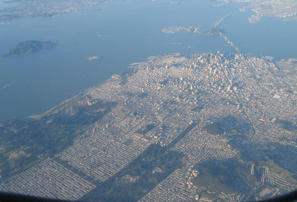
San Francisco from the air.


Looking North-East
Golden Gate Park is the green strip doing diagonally from the lower left.
Starting at left center is the Presidio.
Downtown is near the upper right.  Market Street is clearly visible as the vertical line running through downtown.
Market Street runs North-East.  Streets to its left run North-South and East-West.
Angel Island is near the left, Alcatraz to its right, closer to San Francisco.  Treasure Island and Yerba Buena Island are by the bay bridge.
Taken June 10, 2005, 5:27PM.  6-7:146
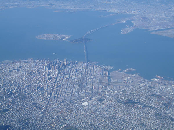

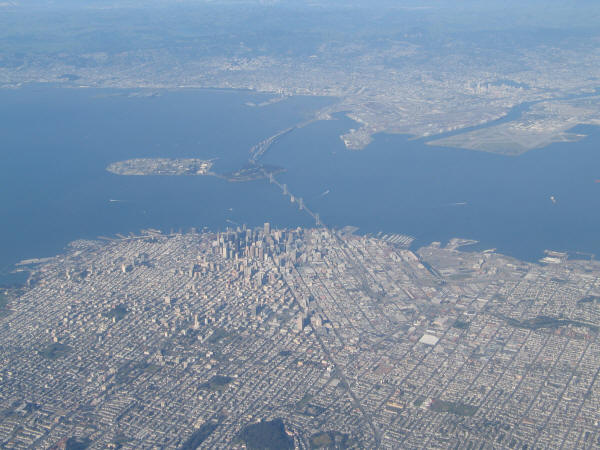
Downtown San Francisco looking North-East.  Again Market Street is clearly visible.
Treasure Island is in the bay to the left of the Bay Bridge.  The bridge goes through Yerba Buena Island.
Taken June 10, 2005  5:27PM 6-7:148


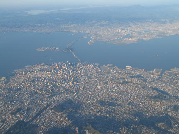
Another view of downtown San Francisco
Oakland, and part of Alameda Island are visible across the bay.
Taken April 20, 2005, 4:29PM  6-4:114


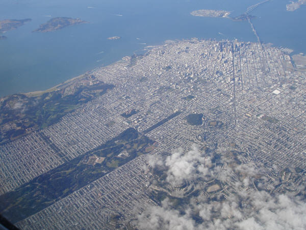
Taken March 31, 2005  5:38PM  6-3:75


Taken March 31, 2005  5:38PM.  6-3:76
 

Next --->


About These Photos  

Web Page Copyright © 2005 eLivermore.com