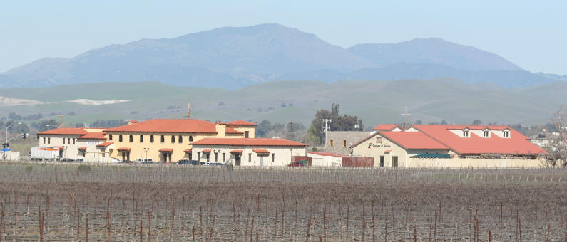
Taken from Highway 84, behind Campo di Bocce (right building)
Overlooking vineyards.
|
Mt. Diablo |
|
Back to: Home Page - Photos Page - Livermore Sites |
|
|
||||
| Previous Page |
Page 1 - Isabel & Arroyo Trails in
Livermore Page 2 - Sunol Regional Wilderness Page 3 - Sycamore Grove Page 4 - Sycamore Grove - View from the peak Page 5 - Del Valle Dam Area Page 6 - Del Valle, main area. Page 7 - Pleasanton Ridge Page 8 - Iron Horse Trail Page 9 - Shadow Cliffs Page 10 - Mt. Diablo |
Next Page |

Taken from Highway 84, behind Campo di Bocce (right building)
Overlooking vineyards.
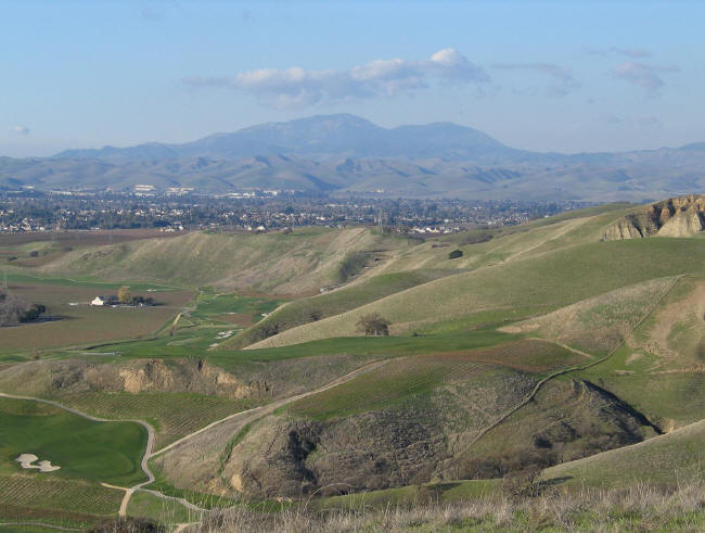
Taken from the dam side of Del Valle, at the peak.
Overlooking the Course at Wente
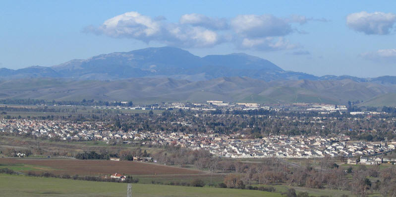
Taken from a peak in Sycamore Grove Park.

The Golden Gate Bridge from the peak on Mt. Diablo.
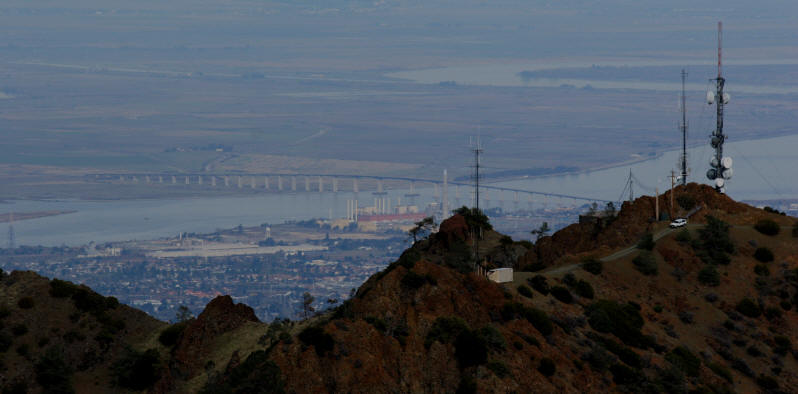
The Antioch Bridge, which goes over the San Joaquin River.
Also the North Peak of Mt. Diablo.

The Benicia - Martinez Bridge from the peak of Mt. Diablo

The mothball fleet in Suisun Bay (just east of the
Benicia-Martinez Bridge)
See photos from the air
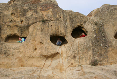
Rock City caves. These are all connected internally.
The easiest way to climb up is at the center. There are hand and foot
holds in the rock.
I am on the left.
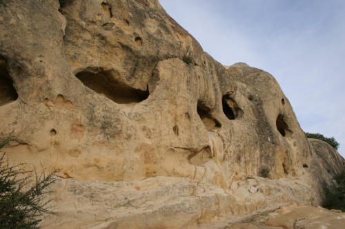
Another view of the Rock City rock caves.